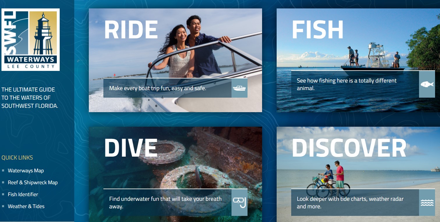
Lee County Waterways Tool
Did you know there is a Southwest Florida Waterways tool? While it’s not meant to be a navigational aid for boaters, it is a good overview of some of the basics such as marinas, boat ramps, reefs, and shipwrecks.
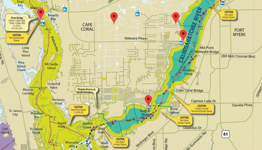
For example, the waterway segment of the tool shows:
- An overall map with pin placements of key locations, such as marinas and boat ramps; when you click the pin, a pop up displays with more info and the contact phone number for the facility
- The InterCoastal Waterway
- Buoys and areas to avoid
- Powerlines
- Speed zones
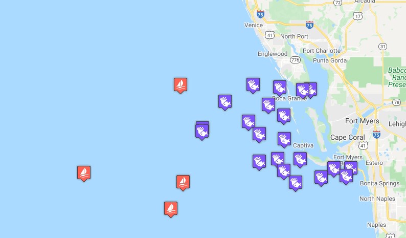
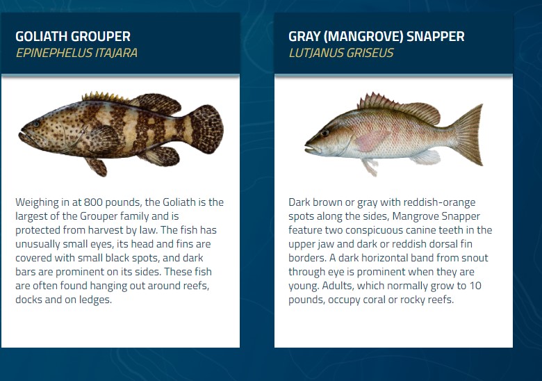
Additionally, the tool includes:
- Shipwreck and reef locations, along with diving regulations
- How to identify common fish species and specialty species (such as turtles)
- Fishing regulations
- Boating safety information
Here’s a link to the web version: Home | SWFL Waterways. Have fun browsing!